Forecast for the two days
Every point on the route, corrected to its altitude.
- Cloud layers hour by hour, so you know whether the passes will have a view.
- Sources: MeteoSwiss ICON-CH, ECMWF and Open-Meteo live when the page opens. MET Norway (yr.no) and OpenWeather refreshed hourly by the build.
- Offline you see the last forecast saved, and it says when.
Loading forecast…
Webcams
Live pictures around the route. The images refresh every few minutes, tap one for the full-size view and the history. Check the cloud base on Friday morning before deciding how early to leave.
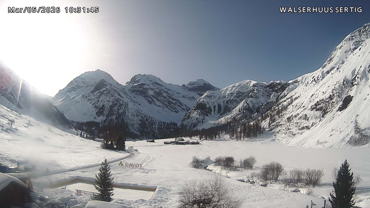 Sertig, WalserhuusThe trailhead, 1860 m. Friday's start and the cloud in the Sertig valley.
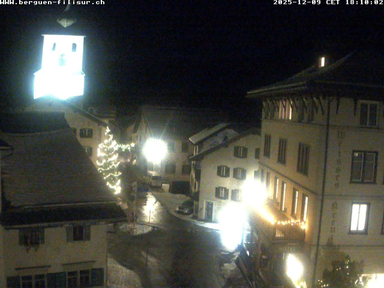 Bergün villagePlan B's exit, 1370 m. Looks up the Albula valley.
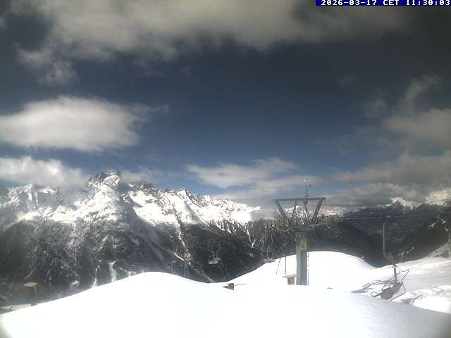 Darlux above BergünAbout 2000 m, the mountains east of Bergün towards the Kesch group. The best proxy for cloud on the Val Tuors side.
 Piz DarluxSummit cam at about 2600 m. Same height as the hut, so what it sees the hut sees.
 La Punt, reservoirPlan A's finish, 1700 m. Looks over the village towards the Albula road and the Es-cha side.
 La Punt, MüsellaSecond angle from the same spot, up the Engadin.
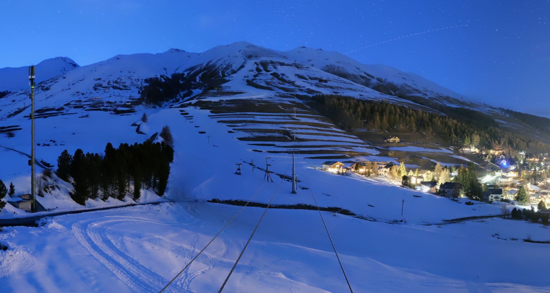 ZuozNext village down the Engadin from La Punt. Cloud base over the valley on Saturday afternoon.
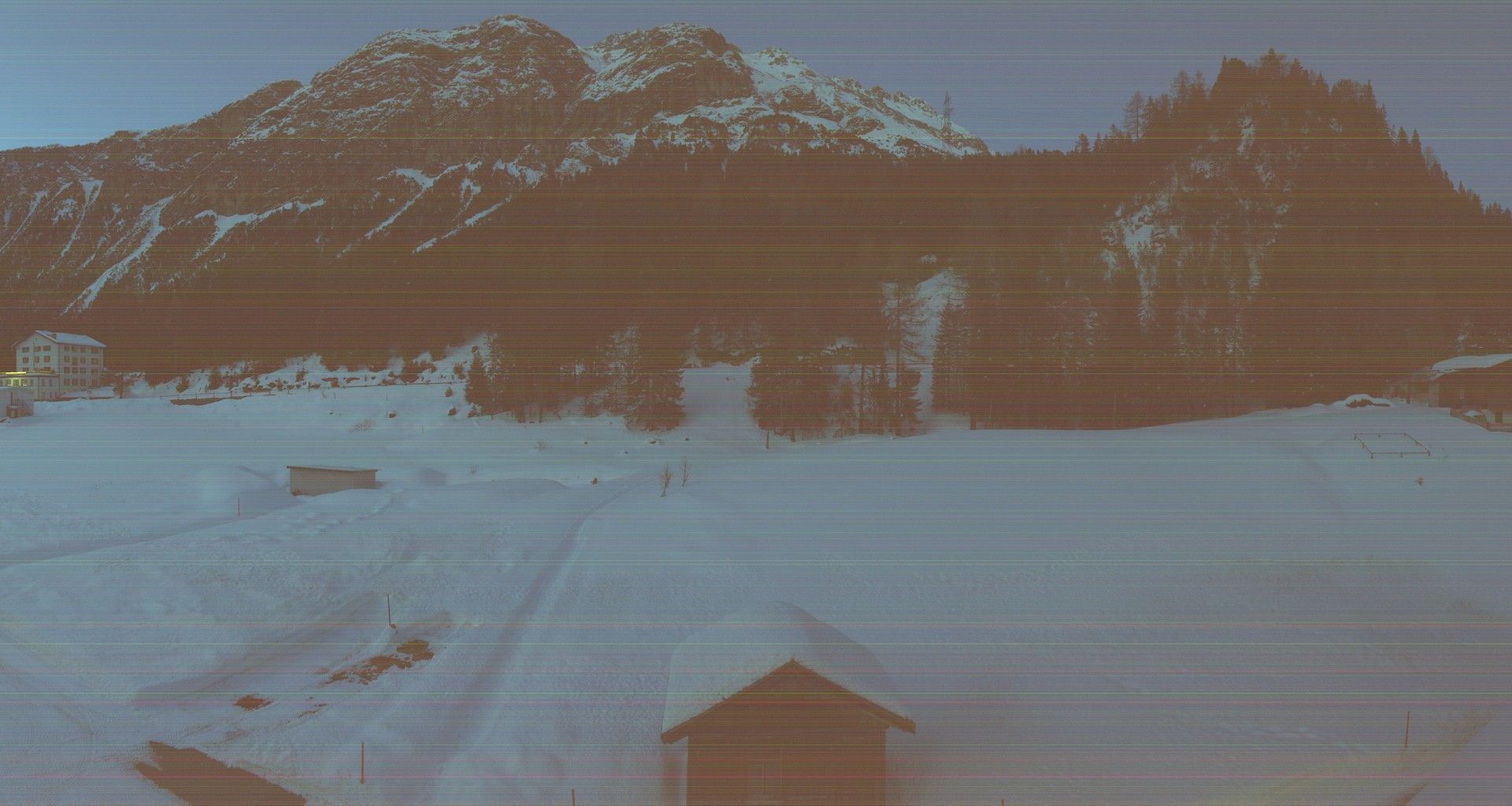 Preda, Albula tunnel1790 m, the north side of the Albulapass. Snow line and cloud on the Albula side.
- No camera at the Kesch-Hütte or Es-cha. The hut has a weather station with live temperature and wind at 2625 m.
- Official pages with more angles: Walserhuus Sertig, Bergün Filisur, La Punt.
Full forecasts elsewhere
- yr.no (MET Norway): Kesch-Hütte hourly · Fuorcla Pischa hourly · Sertigpass · La Punt
- meteoblue: Kesch-Hütte · Fuorcla Pischa. Their multimodel and cloud-layer views are worth a look the evening before.
- MeteoSwiss app: search Bergün or Davos, then the mountain forecast for the Albula region. Best for warnings and the freezing level.
- Kesch-Hütte: kesch.ch. Phone the warden the evening before for the Pischa conditions. That call beats every model above.